If you are looking for ideas on how to teach latitude and longitude, you’ve come to the right place!
What’s the point of latitude and longitude?
It tells us where. Where we are, where our vacation destination is, where historical events happened, and etc.
Latitude and longitude can be tricky to teach, but upper elementary students need to understand the concept and be able to use latitude and longitude to find locations consistently.
Sure, GPS is everywhere (and quite useful), but latitude and longitude will always be relevant.
Are you looking for more upper elementary social studies/writing resources and ideas? I’d love for you to join my weekly VIP email club with no spam, just helpful tips, ideas, and resources!
Start Simple
To make students comfortable, begin by having them share what they already know about maps.
Pairing students and providing a copy of a world map is a great way to begin this activity.
After pairs of students discuss features on the world map for a few minutes, lead a class brainstorm session on what they already know about maps.
Maybe they recognize some continents, oceans, or even countries or states.
This is a perfect time to point out the lines of latitude and longitude on the map and ask students what these lines mean.
Follow your students’ lead, however deep or shallow their background. Tell them they’re going to learn all about latitude and longitude.
Grid Systems
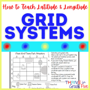
Using a grid system to introduce latitude and longitude is a non-threatening way to begin learning the concept.
Lines of latitude and longitude are much easier for students to comprehend when they understand grid systems.
An easy and engaging way to begin is to work together as a class to create a grid system of the playground or classroom.
Next, invite students to create a fictional place using a grid system.
Students might create and design their own airport, restaurant, library, shopping mall, etc.
Encourage students to create a key and also to use rulers to create straight grid lines that are equal lengths apart.
Lines of Latitude and Longitude
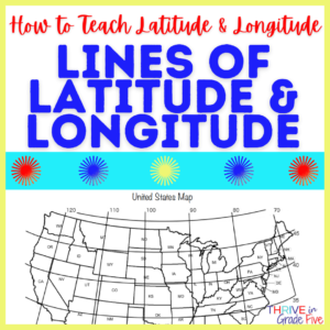
Show students examples of maps with latitude and longitude, which are readily available in textbooks and online.
Be sure to point out the equal intervals between lines of latitude and longitude.
A good mnemonic is worth its weight in gold.
‘Lat is fat’ can help students remember that latitude goes around the Earth laterally – and the equator is like a belt.
I even use a short sing-songy rhyme, “Latitude, flatitude, round and round. Longitude lines go up and down.”
Absolute Location vs. Relative Location
Absolute location tells where something is – it doesn’t change. Latitude and longitude provide absolute location.
Relative location, on the other hand, tells where something is in relation to other locations. Relative location is variable based on the person’s perspective – so it can change.
When teaching students absolute versus relative location, keep it super simple.
Begin by using the school as an example. On the board, write the address of the school. This is its absolute location.
Next, write the relative location of the school (5 blocks away from the community pool, next to the library, etc.)
Give students practice by asking them to write down the absolute and relative locations of their homes, community parks, restaurants, etc.
Making these two terms relevant to students’ lives is key in cementing this knowledge.
Important Latitude & Longitude Terms to Teach
- cartographer – a person who makes maps
- lines of latitude – imaginary lines that run east to west and help us find exact locations
- lines of longitude – imaginary lines that run north to south and help us find exact locations
- hemisphere – half of Earth
- Equator – imaginary line of latitude that circles the Earth east to west
- Prime Meridian – imaginary line of longitude that runs north to south at zero degrees
- relative location – identifying a location based on other locations
- absolute location – an exact location – can use coordinates or street addresses
- coordinates – coordinates mark exact locations on Earth, ex. 50 degrees North, 37 degrees East
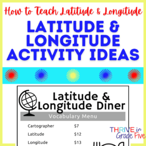
Latitude & Longitude Activity Ideas
Fun, Free Activity: Latitude and Longitude Diner
This free resource offers a creative, engaging activity to help students review important geography terms!
To complete this quick activity, students will use a vocabulary menu to calculate diner tickets for customers.
This diner activity pairs perfectly with Latitude & Longitude: Instruction and Practice but this resource can also be used on its own.
Latitude & Longitude Group Relay
For a quick, simple, and exciting activity, divide your class into pairs of students.
Print a map with clear latitude and longitude lines and degree measurements. Provide one map to each pair of students.
Make a list of 10 locations and 10 coordinates for student pairs to locate.
The first couple of groups to answer ALL questions correctly might win something small, like a piece of candy.
Looking for a ready-to-print resource for teaching latitude and longitude in your upper elementary classroom? This one includes a variety of instructional pages, practice pages, activities, and a quiz.
Are you looking for more upper elementary social studies/writing resources and ideas? I’d love for you to join my weekly VIP email club with no spam, just helpful tips, ideas, and resources!
